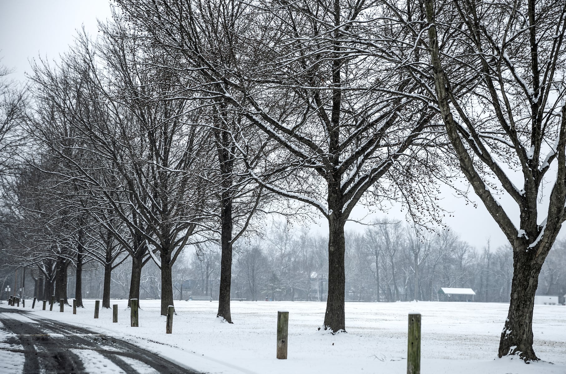
Temperatures are dropping across the northern United States this week. Pennsylvania and the rest of the Northeast are headed into a period of unusually cold weather, thanks to the polar vortex.
According to the National Weather Service in State College, temperatures will drop to a low of 23 degrees overnight tonight. Thursday’s forecast calls for a high near 38 degrees, followed by a low of 14 degrees Thursday night, accompanied by wind gusts of up to 20 miles per hour.
There’s also a chance of precipitation on Friday, as a storm sweeps across the eastern United States. AccuWeather reports that this band of precipitation “will tap into enough cold air to produce ice and snow from portions of Oklahoma, Missouri, and Arkansas during Thursday night to New Jersey, southeastern New York, and southern New England by Friday evening.”
Meanwhile, another cold front to the north might bring snow squalls to New England and the mid-Atlantic states. CNN reports that snow squalls are likely to threaten New York and the northern region of Pennsylvania later in the week, in addition to the chilly temperatures and wind chill.
Fortunately, the Harrisburg region is not expected to bear the brunt of these storms. The National Weather Service forecasts a chance of light snow on Friday during the day, with another chance for some snow overnight.
### Full Forecast from the National Weather Service:
**Tonight**
Partly cloudy, with a low around 23. Calm wind becoming southwest around 5 mph after midnight.
**Thursday**
Partly sunny, with a high near 38. West wind 7 to 15 mph, with gusts as high as 29 mph.
**Thursday Night**
Partly cloudy, with a low around 14. Northwest wind 5 to 9 mph becoming calm after midnight. Winds could gust as high as 20 mph.
**Friday**
A chance of light snow, mainly after 1 p.m. Mostly cloudy, with a high near 29. Calm wind becoming south 5 to 7 mph in the morning. Chance of precipitation is 30%.
**Friday Night**
A slight chance of light snow before 1 a.m. Mostly cloudy, with a low around 20. Calm wind. Chance of precipitation is 20%.
**Saturday**
Partly sunny, with a high near 37.
**Saturday Night**
Mostly cloudy, with a low around 24.
**Sunday**
Mostly cloudy, with a high near 39.
**Sunday Night**
Mostly cloudy, with a low around 21.
**Monday**
Mostly sunny, with a high near 29.
**Monday Night**
Partly cloudy, with a low around 13.
**Tuesday**
Partly sunny, with a high near 33.
**Tuesday Night**
Mostly cloudy, with a low around 25.
**Wednesday**
A chance of rain. Mostly cloudy, with a high near 41. Chance of precipitation is 30%.
Stay warm and prepared as this cold snap moves through the region.
https://www.pennlive.com/weather/2025/12/central-pa-facing-below-freezing-temperatures-are-snow-and-ice-also-on-the-way.html